New estuarine habitat maps go live

Want to know how seagrass, mangrove and saltmarsh vegetation cover is changing over time in NSW estuaries?
Then check out the recent updates to the NSW Estuarine Habitat dashboard.
An update to the dashboard has just gone live - following months of data collection.
It includes updated mapping of estuarine vegetation in the following areas: Hunter River, Lake Macquarie, Merimbula Lake, Pambula Lake, Twofold Bay, Curalo Lagoon, Shadrachs Creek, Nullica River, Boydtown Creek, Fisheries Creek, Towamba River and Back Lagoon.
Mangroves, seagrass and saltmarsh, are important as they provide habitat for fish and other animals, protect our shorelines from erosion and act as a carbon sink.
Keeping track of how our estuarine vegetation is faring through this project helps us identify both climate and manmade disturbances to mangrove and saltmarsh areas and manage them accordingly.
DPI Fisheries Scientist Greg West, co-developer of the NSW Estuarine Habitat dashboard, recently shared his work on mapping these disturbances at the Australian Mangrove and Saltmarsh Network conference in Ballina.
The NSW Estuarine Habitat dashboard is part of the NSW Estuarine Habitat Monitoring and Threat Assessment Project funded by the NSW Marine Estate Management Strategy.
Latest news
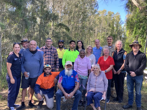
On Blue Carbon Country with Bullinah River Rangers
NSW Department of Primary Industries and Regional Development, in collaboration with Jali Local Aboriginal Land Council, hosted an On Country Day at the Duck Creek Research Station.
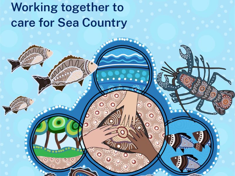
Survey reveals what Sea Country means to Aboriginal Peoples
The recent Connection to Sea Country – Aboriginal Peoples of Coastal NSW survey has confirmed the crucial significance of Sea Country to cultural connections, and the social and emotional wellbeing of Aboriginal Peoples.
Anchors ahoy: New Port Kembla anchorages will protect seafloor life
A world leading approach to the anchoring of ships has been introduced in Port Kembla to protect the marine life of the region’s rocky reefs.
