What's my zone?

Marine parks and their zones can now be seen on the NSW e-Planning Spatial Viewer.
The NSW e-Planning Spatial Viewer is a tool used by councils, industry, the community and government to map and understand land use zones and development controls across NSW.
Following a recent collaboration between marine estate agencies, marine parks (including their zones) have been added to the NSW e-Planning Spatial Viewer by NSW Department of Planning and Environment.
This allows the land use and marine park rules to be overlayed so that they can be better understood by council, the community, industry and government.
Adding the marine park zones to the e-Planning Spatial Viewer will build awareness about marine parks, their importance, and the purpose of the different zoning.
You can check out the NSW Marine Park zones in the e-Planning Spatial Viewer at:
https://www.planningportal.nsw.gov.au/spatialviewer/#/find-a-property/address
Latest news
On Blue Carbon Country with Bullinah River Rangers
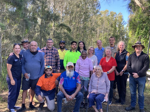
NSW Department of Primary Industries and Regional Development, in collaboration with Jali Local Aboriginal Land Council, hosted an On Country Day at the Duck Creek Research Station.
Survey reveals what Sea Country means to Aboriginal Peoples
The recent Connection to Sea Country – Aboriginal Peoples of Coastal NSW survey has confirmed the crucial significance of Sea Country to cultural connections, and the social and emotional wellbeing of Aboriginal Peoples.

Anchors ahoy: New Port Kembla anchorages will protect seafloor life
A world leading approach to the anchoring of ships has been introduced in Port Kembla to protect the marine life of the region’s rocky reefs.
