Historical aerial photos show dramatic changes
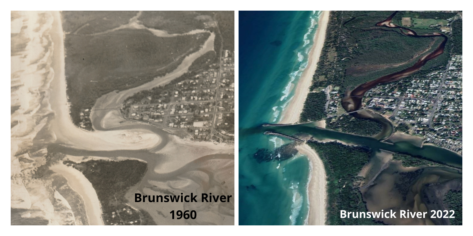
Look at the Brunswick River back in 1960 compared to now.
You can see that the construction of breakwaters has totally changed this river mouth.
We shared these historical aerial images showing how river entrances have changed on NSW coast on social media and gained a strong response.
So, we thought we’d share them with our news readers as well.
These images have been taken from an audit of NSW breakwater structures conducted by DPI Fisheries.
The audit aimed to review all of NSW breakwater structures and look at ways we could better manage them for both the marine environment and for users of breakwater structures.
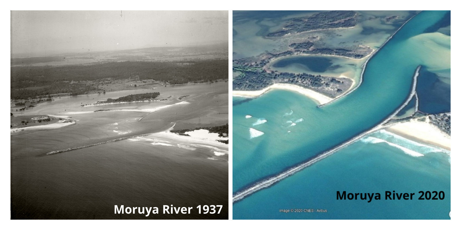
Check out how things have changed at the Moruya River entrance since 1937.
You can see the construction of breakwalls on both sides of the channel has allowed areas of land to be reclaimed.
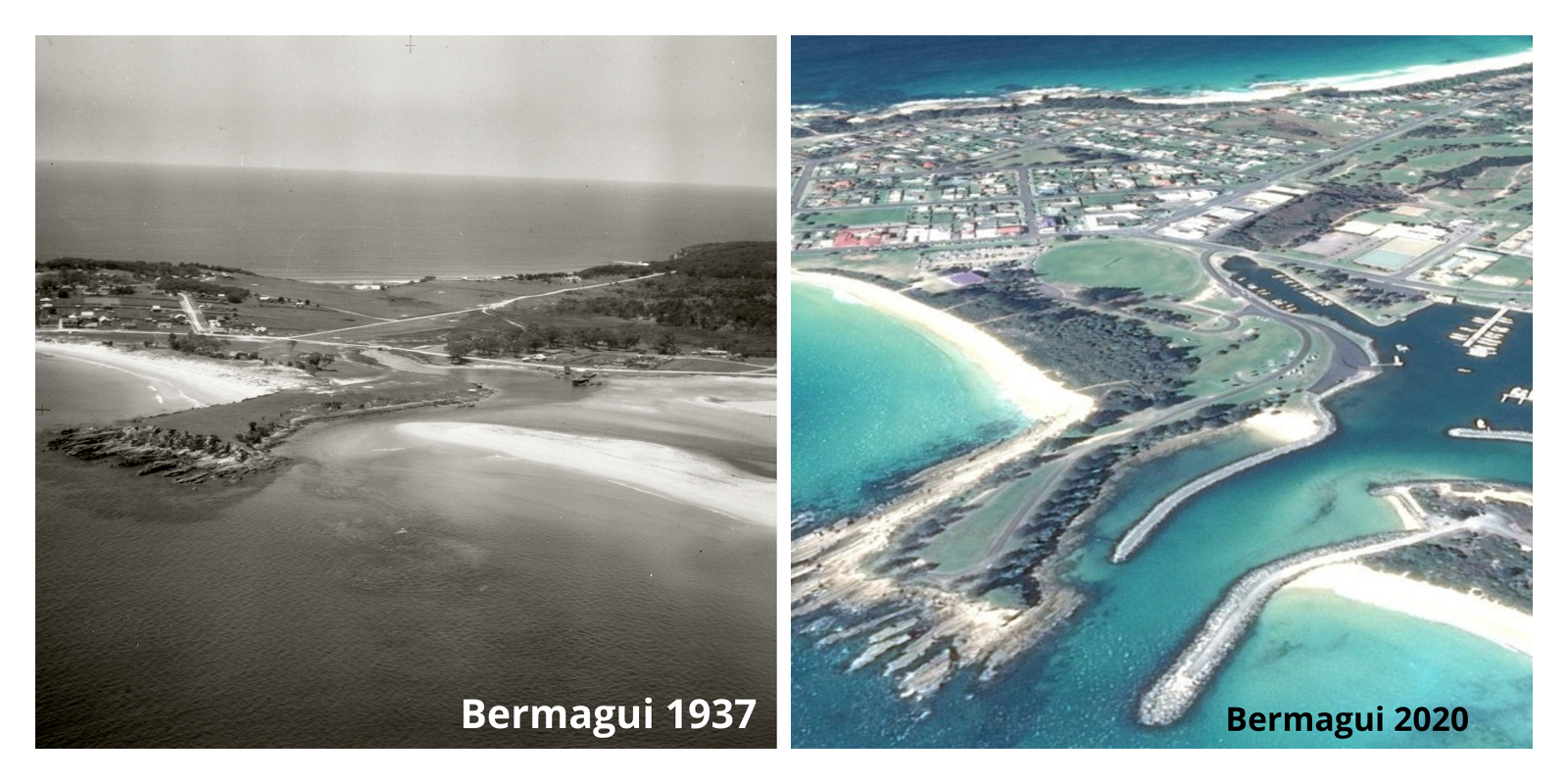
The above photos show how the breakwater structures (and boat harbour) at Bermagui have completely changed the lie of the land and how the river meets the sea.
Breakwaters and training walls are large structures built of rock or concrete and positioned in the coastal zone.
Created to protect some foreshores from erosion and create harbours, or safe ports, you can see from these images that they can alter the topography.
Many NSW breakwaters are more than 100 years old, and their design did not consider their environmental impact.
You can find more amazing historical coastal aerial images by checking out the Fish Friendly Breakwater audit.
The Fish Friendly Breakwater Maintenance project was funded under the NSW Marine Estate Management Strategy.
Photo credit: The 1937 aerial photographs of Bermagui and the Moruya River are part of the Adastra Collection, a collection of approximately 200 aerial images of Sydney and the NSW south coast.
Latest news
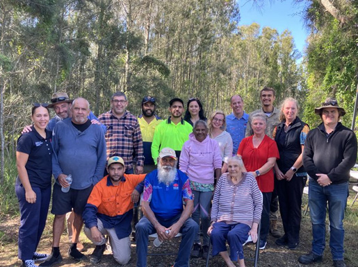
On Blue Carbon Country with Bullinah River Rangers
NSW Department of Primary Industries and Regional Development, in collaboration with Jali Local Aboriginal Land Council, hosted an On Country Day at the Duck Creek Research Station.
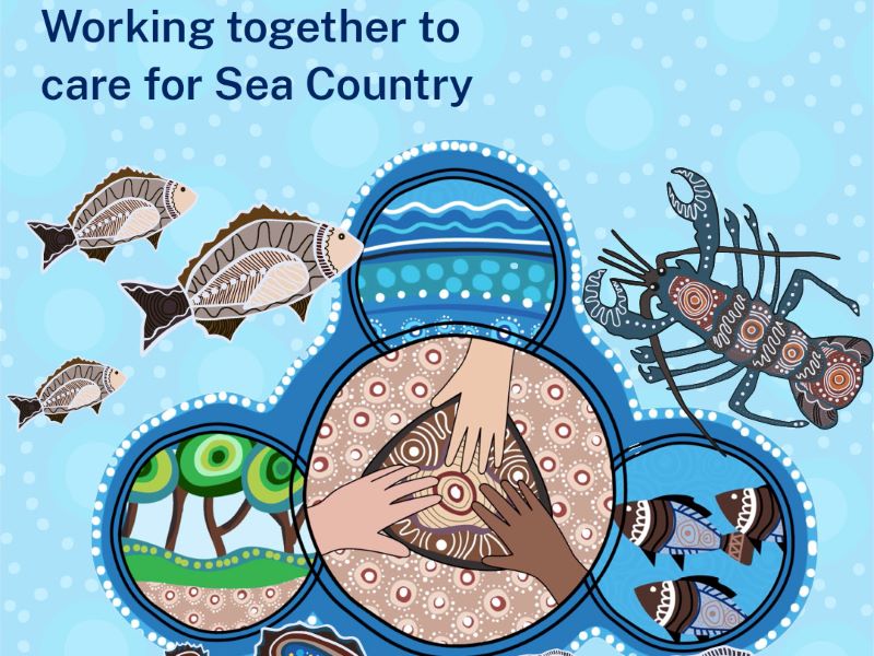
Survey reveals what Sea Country means to Aboriginal Peoples
The recent Connection to Sea Country – Aboriginal Peoples of Coastal NSW survey has confirmed the crucial significance of Sea Country to cultural connections, and the social and emotional wellbeing of Aboriginal Peoples.
Anchors ahoy: New Port Kembla anchorages will protect seafloor life
A world leading approach to the anchoring of ships has been introduced in Port Kembla to protect the marine life of the region’s rocky reefs.
