New marine protected area maps a hit!

New interactive maps for NSW marine parks and aquatic reserves are proving popular with more than 11,000 hits recorded in January alone! This includes interest from as far afield as Turkey, Peru and Vietnam!
The maps are found on the NSW DPI marine parks and aquatic reserve webpages and contain information about the rules that apply in these areas.
Website visitors can now just click or tap on an area, and they will be able to see relevant information and the rules that apply. Users who have location services turned on can also see their position relative to zone boundaries.
These new web maps reduce the need for paper maps while helping marine estate users stay better informed about the rules that apply in our marine protected areas.
To see how they work now, check out the new interactive maps for Cape Byron Marine Park or Cabbage Tree Bay Aquatic Reserve.
You can find maps of your local marine protected area on the DPI Fisheries website.
Latest news
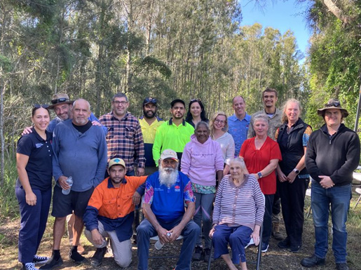
On Blue Carbon Country with Bullinah River Rangers
NSW Department of Primary Industries and Regional Development, in collaboration with Jali Local Aboriginal Land Council, hosted an On Country Day at the Duck Creek Research Station.
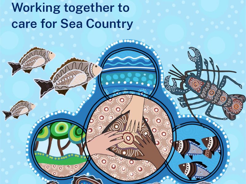
Survey reveals what Sea Country means to Aboriginal Peoples
The recent Connection to Sea Country – Aboriginal Peoples of Coastal NSW survey has confirmed the crucial significance of Sea Country to cultural connections, and the social and emotional wellbeing of Aboriginal Peoples.
Anchors ahoy: New Port Kembla anchorages will protect seafloor life
A world leading approach to the anchoring of ships has been introduced in Port Kembla to protect the marine life of the region’s rocky reefs.
