Exploring our Sea-crets!

Ever wondered what’s under the sea?
A new web-based viewer called ‘Seabed NSW’ recently released by NSW Department of Planning and Environment (DPE) allows any interested members of the public to investigate NSW’s underwater landscape.
Termed a “Google Earth for NSW’s underwater regions’, Seabed NSW, shows the depths of the ocean and the types of seabed across the NSW coast from the waterline out to approximately 30 to 35 m meters deep.
DPE’s Coasts and Marine Science Team developed the viewer using aircraft mounted laser LiDAR coupled with vessel mounted multibeam sonar technologies.
DPE Marine Research Scientist, Tim Ingleton, said there has already been significant community interest in accessing the new Seabed viewer.
"It was released at the NSW Coastal Conference and within 2 days there was 1200 hits on the site” he said.
“This is useful for anyone that uses the coast: divers, fishers, councils. Even surfers like to look at it because it shows where local sand banks and reefs are located.”
“Other stakeholders likely to access the viewer includes land councils, scientists and community groups. Anyone keen to explore their section of coast without having to use specialist software or rely on other expertise.”
“You don’t have to be an expert user to use the Seabed viewer, it’s like a Google earth for the underwater regions of NSW.”
He says it will be used by scientists studying NSW coastal habitats and coastal managers in state and local government, enabling them to better understand the ocean landscapes they work within.
“The maps and layers of the Seabed NSW viewer provide detail on the distribution of sea floor habitats; this will assist in the study and management of marine ecosystems.”
“The viewer will also assist coastal councils by providing detailed and accurate data to assist with the production of coastal management plans.”
The Seabed NSW web-viewer is now accessible through the NSW environmental data hub SEED (Sharing and Enabling Environmental Data) accessed here. The mapping was funded by the NSW Government under the $83.6 million Coastal Reforms funding package.
Latest news
On Blue Carbon Country with Bullinah River Rangers
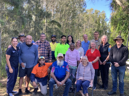
NSW Department of Primary Industries and Regional Development, in collaboration with Jali Local Aboriginal Land Council, hosted an On Country Day at the Duck Creek Research Station.
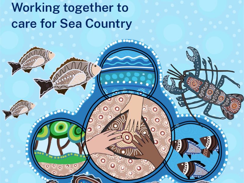
Survey reveals what Sea Country means to Aboriginal Peoples
The recent Connection to Sea Country – Aboriginal Peoples of Coastal NSW survey has confirmed the crucial significance of Sea Country to cultural connections, and the social and emotional wellbeing of Aboriginal Peoples.
Anchors ahoy: New Port Kembla anchorages will protect seafloor life
A world leading approach to the anchoring of ships has been introduced in Port Kembla to protect the marine life of the region’s rocky reefs.
