Implementing the Marine Estate Management Strategy
Progress on implementation of the Marine Estate Management Strategy is published:
- every four months in a triannual snapshot
- at the end of each year in an annual report.
Copies of past reports are available below.
In addition, the Marine Integrated Monitoring Program is assessing the effectiveness of the Strategy in reducing priority threats and risks to the NSW marine estate.
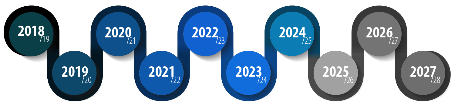
A ten-year strategy
The Strategy commenced its fifth year of implementation on 1 July 2022. See the current implementation plan for details about how the Marine Estate Management Strategy is being delivered in 2022-24.
Highlights of current progress
November 2023 to February 2024
| Review of the NSW Water Quality Objectives | Statutory Documents ‘values and uses check’ complete. All coastal catchments now have draft NSW Water Quality Objectives (WQOs) attributed to them in consideration of community feedback, statutory documents check, or professional feedback supplied through workshops in 2022. |
| Clean coastal catchment monitoring | A community workshop was held in Tilba Tilba in November 2023, providing local community with information on the on-ground works and monitoring being undertaken in the Victoria Creek and Tilba Tilba Lake catchment, and communicating the benefits this has on water quality and the environment. |
| Coastal design guideline review | ‘The final NSW Coastal Design Guidelines 2023 were publicly released on 10 November 2023. The Guidelines aim to improve decision-making, built outcomes and environmental performance in coastal places through strategic planning and urban design. The guidelines give best-practice advice to support the preparation of planning proposals, place strategies and local planning controls. They also aim to shape good urban design outcomes within coastal settlements. Supporting materials including case studies and worked examples were released on the Coastal Design Guidelines webpage, to demonstrate how the guidelines can be applied in practice. A webinar was held on 20 February 2024 (view the slides here), focusing on how the guidelines can be applied in a range of applications. |
| Estuarine habitat monitoring and threat assessment | In the Mid-Coast, Clarence Valley, Shoalhaven areas of focus this trimester, estuarine habitats and disturbance maps were created for 17.5 ha of habitat in Smiths Lake. Preliminary maps were prepared for 6 other estuaries (Corindi River, Sandon River, Moonee Creek, Wolli Wolli River, Shoalhaven River, Crookhaven River) which are pending field validation before final release. |
| Sea Country rangers | Support of Sea Country Ranger activities are on track with Initiative 4 collaborating with Green Heroes on the Sea Country Summit Heron Island project. Sea Country rangers from north and south coast NSW attended and networked with industry practitioners and experts in the field of Sea Country management from around Australia. |
| Estuary general fishery observer survey | Trained scientific observers have monitored more than 300 fishing trips across 14 estuaries from Lake Illawarra in the south to the Tweed River in the north. |
| Aquaculture socio-economic research | The Binder Dijker Otte company completed the (BDO) socio-economic valuation of the aquaculture industry report published in December 2023. Shellfish Committee, industry newsletters notified. |
| Vessel environmental standards | The Marine Pollution Regulation 2014 review is complete. The Marine Pollution Regulation 2024 will commence on 25 March 2024. Website updates and communication for stakeholders are in progress. Information for staff to support implementation of the Sewage Pollution Prevention Certificate Scheme (SPPC) is being prepared. |
| Economic benefits monitoring and research | Economic contribution and Market Insights (ECMI) report and associated communications material were finalised and endorsed by MEMA. The report estimates the market-based value of the marine estate to the NSW economy and investigates drivers for economic changes in individual industries and regions, as well as broader trends in the marine estate over the last 5 years, and into the future. |
| Improved marine protected area planning and management | In the Cook Island Aquatic Reserve, all tour operators using the Aquatic Reserve, National Parks and Wildlife Service (NPWS) and Green Heroes volunteer group have provided feedback on a draft Code of Conduct. Participants have reported that they are already implementing the Code and communication materials for the public are being developed. |
| Strategy program management | Publication of the Snapshot report July-October 2023 and the 2022-2023 implementation annual report. This provides an update to stakeholders and the community on the implementation of the Strategy. |
| Better geographic information system (GIS) for the marine estate | Added information about new offshore artificial reefs to public. Educational material including the FishSmart app and DPI webmaps. Remnant Oyster Reef mapping completed for the Hawkesbury River. |
Reports

2023-24
2022-23
2021-22
2020-21
Baseline evaluation
- Strategy baseline evaluation Executive Summary and recommendations (PDF, 374.08 KB)
- Strategy baseline evaluation report (PDF, 1351.41 KB)
- Strategy baseline evaluation supplementary report (PDF, 1156.2 KB)
Progress reports
- Strategy Implementation Annual Report 2020-21 (PDF, 11212.48 KB)
- Strategy quarterly snapshot - Year 3, Quarter 4 (PDF, 2211.84 KB)
- Strategy quarterly snapshot - Year 3, Quarter 3 (PDF, 1646.27 KB)
- Strategy quarterly snapshot - Year 3, Quarter 2 (PDF, 1625.72 KB)
- Status report for local government - Initiatives 1-3 - September 2020 (PDF, 764.8 KB)
- Strategy quarterly snapshot - Year 3, Quarter 1 (PDF, 1119.91 KB)
Presentations from MEMS local government online forum - July 2021
- Introduction (PDF, 3776.63 KB)
- Review of the NSW water quality objectives (PDF, 3558.67 KB)
- Risk based framework for urban waterway health (PDF, 2270.02 KB)
- Risk based framework for regional waterway health (PDF, 2267.9 KB)
- Estuarine water quality monitoring (PDF, 2232.12 KB)
- Oyster reef restoration (PDF, 4833.15 KB)
- Improving roads and tracks (PDF, 4871.89 KB)
- Riverbank vegetation improvement and stabilisation (PDF, 5369.89 KB)
- Clean coastal catchments on-ground and research (PDF, 748.11 KB)
- Fish friendly workshops for councils (PDF, 2161.73 KB)
- Construction sediment management and coastal design guidelines (PDF, 2545.07 KB)
- Fish friendly breakwater maintenance (PDF, 2140.58 KB)
- Marine vegetation strategies (PDF, 2376.67 KB)
- Domestic waterfront structure and estuary bank management strategies (PDF, 5006.01 KB)
- Coastal wetland rehabilitation (PDF, 2013.93 KB)
- Climate change threats to mangrove and saltmarsh (PDF, 6171.57 KB)
- Climate change monitoring (PDF, 2023.4 KB)
- Feedback from MEMS Local Government online forum (PDF, 191.25 KB)
2019-20
- Strategy Implementation Annual Report 2019-2020 (PDF, 7183.07 KB)
- Strategy quarterly snapshot - Quarter 4 (PDF, 800.14 KB)
- Status report for local government - Initiatives 1-3 - April 2020 (PDF, 1917.79 KB)
- Strategy quarterly snapshot - Quarter 3 (PDF, 2246.38 KB)
- Strategy quarterly snapshot - Quarter 2 (PDF, 2152.39 KB)